Gramap
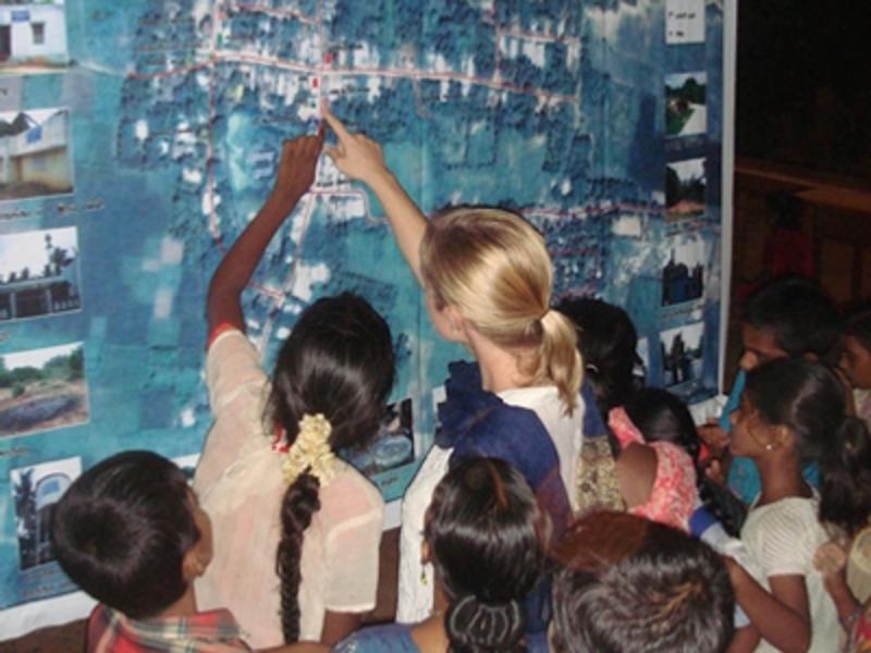
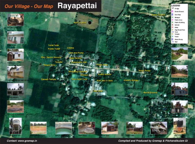
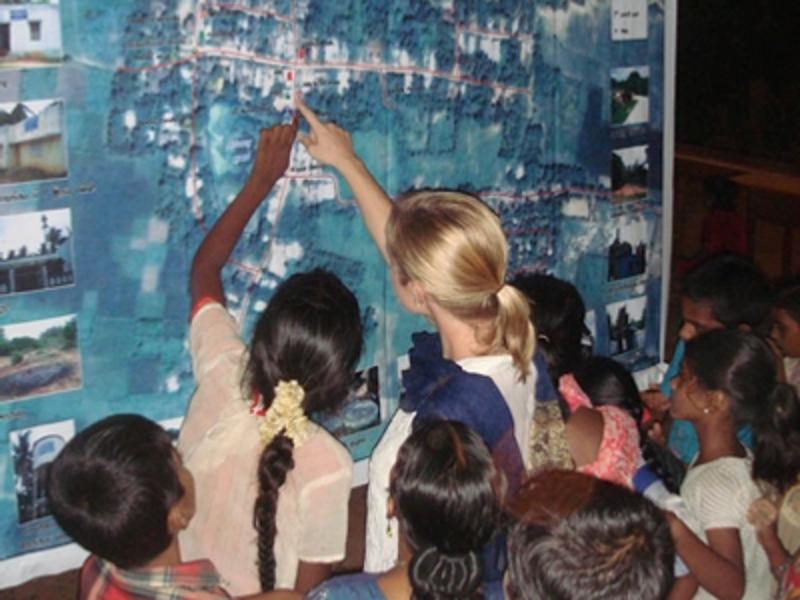
Last Saturday in the small village Rayapettai in the Auroville bioregion people gathered for a special event – introduction of Village Mapping Project with Google Earth. Amazing, and maybe hard to imagine but Rayapettai is on the map of the world on net! The aim of the project which started in spring was to contribute to the cultural and social revitalization of the region, and improve rural development. The project was introduced to the villagers with huge map made by Village Mapping Project team, and a children’s play, which told us about Google Earth on its own way. Now Rayapettai exists on the map of the whole world! Would any of other villages follow that great example?
From "Grama", village in Tamil, and "Map", map in English
GRAMAP, The Village Mapping Project invites villagers to draw
maps of their villages and gather information which will be
available to all on the Internet, using Google Earth and its
Geographical Information System (GIS).
Region concerned: the Villupuram District of central coastal Tamil
Nadu, South India.
The objective of the Village Mapping Project is to contribute to the
cultural and social revitalization of the region. It also aims to
improve rural development and to bridge the digital divide by
mobilizing local young people to collect data, including pictures,
and to put the information online themselves.
A participatory approach will raise self-awareness, wisdom and
knowledge of a place in order to enable people to make better
decisions about their village and its future.
The village maps will be available online to public access. Google
Earth will provide aerial views. Additional self-made maps may be
overlaid, with links to photos and videos, to temples and other
important sites. Village mapping will also include a brief history of
each village, local songs and folktales, and point to special places,
such as a very old tree.
Main actors: the villagers of Rayapettai and neighboring villages,
Bhavana, Balu, Vinai, Murugan, Laurent, Nick, Charles
A lively story full of passion and humor, which takes’village children’away from their village, dreaming
about’far’away places, flying around a virtual Earth, discovering these places’projected’on a screen, and then
all the way back to the village where it all started.’A moving and fun journey which somehow brings them
closer to home.
And there, after flying all over the world in Google Earth and cyberspace, having flown through New York and
the Statue of Liberty,’Delhi and the Taj Mahal, and then landed in closer Pondicherry, a child rises from the
audience and says "I bet you can’t show us my village!". And hop!,’Rayapettai appears on the screen.
We’re back where we started’but, in the process, we have seen the village from another perspective. It is
now’also placed on the world map for the whole Earth to see and for all smiling village children to be proud.


